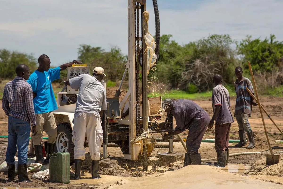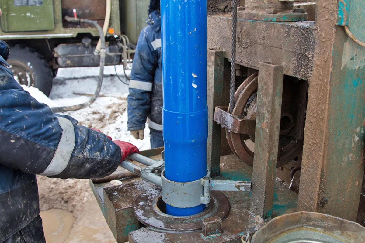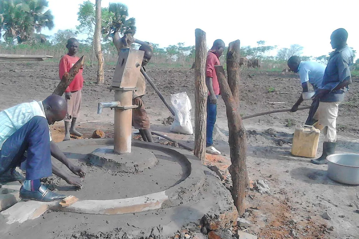
A hydrogeological survey investigates the hydrological and geological conditions below the surface of a particular area. It evaluates the water-bearing capacity of the rock layers and how well they store and transmit water, and gives an indication of the pressure, quality and flow of the groundwater.
Before drilling a borehole, a hydrogeological survey establishes the quantity and quality of water likely to be available at a specific location. The findings are documented in a hydrogeological survey report, which is also required to apply to the Water Resources Authority (WRA) for authorisation to drill.
What the survey involves
Desk study
We review available data from government and private sources: geological maps, previous site investigation reports, published hydrogeological reports and records of existing boreholes in the area.
Fieldwork
Our team carries out a geophysical investigation on site, mainly using resistivity measurements (vertical electrical sounding) to reveal:
- the thickness of subsurface layers;
- the ability of those layers to act as aquifers; and
- the expected groundwater quality at the site.
Analysis
We interpret the results together with the geology, the yields and depths of nearby boreholes, and the risks to yield and quality in the catchment.
What the assessment considers
- Your requirements: location, water demand and intended use
- The geology and water-bearing horizons, anticipated yield, aquifer properties and groundwater flow
- Existing boreholes and abstractions in the area, including borehole logs where available
- Risks to yield and water quality, including potential contamination sources
- Recommended borehole design
Wider hydrogeological investigations
Beyond borehole siting, we support investigations of water quantity, quality, subsurface conditions and groundwater behaviour, with methods selected for the site and intended use:
- Water-resource evaluation. Source identification, surface and bedrock mapping, photographic lineament interpretation and geophysical testing.
- Supply and quality. Aquifer yield testing, water quality evaluation, wellhead protection and potential contamination considerations.
- Further investigations. Groundwater movement, wastewater-disposal interfaces, infiltration and permeability testing, nitrate studies, groundwater mounding, and piezometers and monitoring wells where needed.
- Construction site dewatering. Groundwater studies for excavations below the water table. See Construction Site Dewatering.
Contents of the survey report
- Recommended drilling site(s), with a location and geology map
- Recommended drilling depth and expected quantity of water
- Vertical electrical sounding results for the selected sites
- Analysis of existing borehole data
- Topographic information and line profile data, where applicable
- Other information relevant to your project
Why groundwater?
Groundwater is often a more reliable and better-protected source than surface water. It is naturally filtered as it moves through sand and rock, it is less exposed to pollution when the borehole is properly sited away from latrines and other contamination sources, and it remains available through dry seasons when surface sources fail.